1906 Map of Urbana
USGS Topo · Published 1951About this map
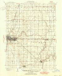
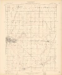
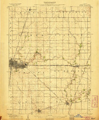
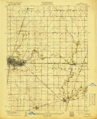
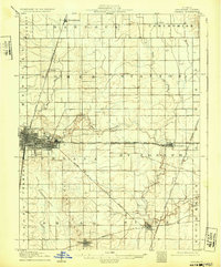
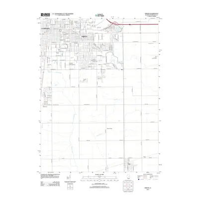
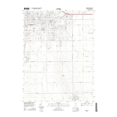
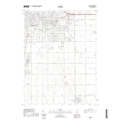
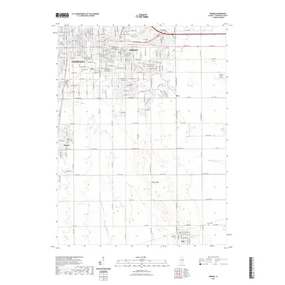
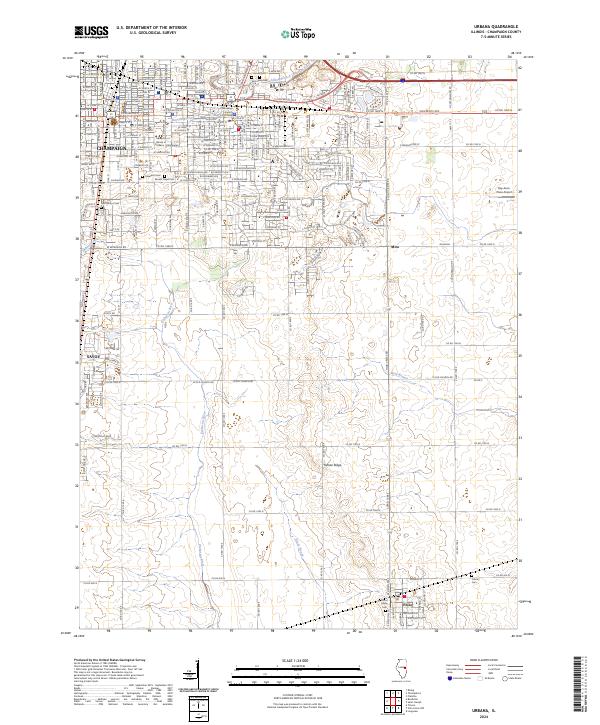
Champaign and Urbana serve as the dominant urban core of this 1905 survey, which was updated with 1944 culture to reflect a landscape of maturing railroad junctions and agricultural commerce. The region is defined by a dense network of transit, where the Illinois Central, Wabash R R, and Peoria and Eastern lines converge to support the area's grain and trade economy. Beyond the main city limits, the map details smaller rail-stop settlements like Leverett, Mayview, and Deers, alongside the rural village of St Joseph along the Salt Fork.
Find a feature on this map
39 named features on this map. Tap any name to fly to it.
Don’t see what you’re looking for? This feature index may not catch every label — zoom into the map to look around manually.
Map Details
Editions of this 1906 Urbana Map
7 editions found
Historical Maps of Champaign Through Time
10 maps found
1906 Urbana
Champaign County, IL
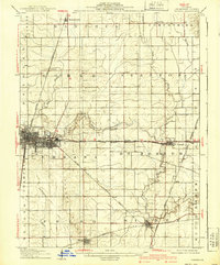
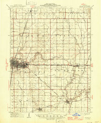
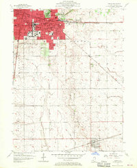
1957 Urbana
Champaign County, IL
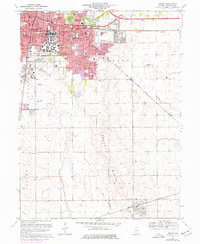
1957 Urbana
Champaign County, IL
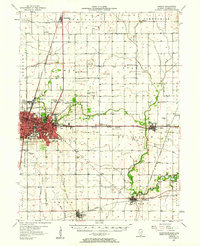
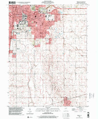
1970 Urbana
Champaign County, IL
1998 Urbana
Champaign County, IL
2012 Urbana
Champaign County, IL
2015 Urbana
Champaign County, IL
2018 Urbana
Champaign County, IL
2021 Urbana
Champaign County, IL
2024 Urbana
Champaign County, IL