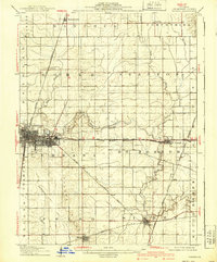
1906 Map of Urbana
USGS Topo · Published 1939About this map
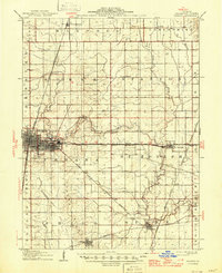
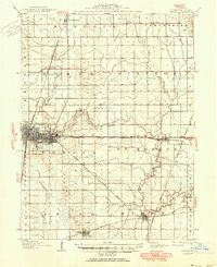
The growing adjacent hubs of Champaign and Urbana anchor this landscape, serving as a vital crossroads for the Illinois Central and several other major rail lines during the early 20th century. While the western edge is defined by urban development and industrial nodes like the Terminal near Mayview, the surrounding territory reveals a transition into the fertile agricultural townships of Somer and St. Joseph. Small rural settlements such as Mira, Deers, and Tipton are mapped along the Wabash RR and the Chicago and Eastern Illinois RR, illustrating how the rail network dictated the placement of grain elevators and local commerce. The natural drainage of the region is traced by the Embarrass River and the Salt Fork River, which wind through the township boundaries of Philo and Sidney. Local history is further preserved in landmarks like the Mt Olivet church and various rural cemeteries.
Find a feature on this map
39 named features on this map. Tap any name to fly to it.
Don’t see what you’re looking for? This feature index may not catch every label — zoom into the map to look around manually.
Map Details
Editions of this 1906 Urbana Map
7 editions found
Other maps of this area

1906 · Urbana
USGS Topo · 1:62,500

1907 · Mahomet
USGS Topo · 1:62,500

1924 · Paxton
USGS Topo · 1:62,500

1927 · Paxton
USGS Topo · 1:62,500

1928 · Gibson City
USGS Topo · 1:62,500

1931 · Fithian
USGS Topo · 1:48,000

1936 · Potomac
USGS Topo · 1:62,500

1943 · Fithian
USGS Topo · 1:62,500

1949 · Paxton
USGS Topo · 1:62,500

1950 · Tuscola
USGS Topo · 1:62,500