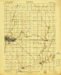
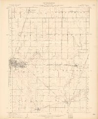
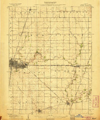
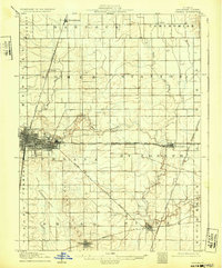
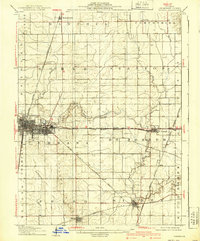
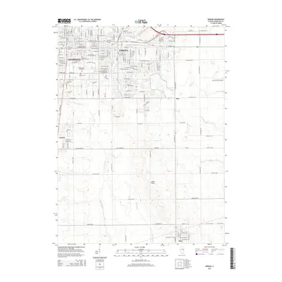
1906 Map of Urbana
USGS Topo · Published 1918About this map
Champaign and Urbana appear as distinct urban centers in this early 20th-century survey, surrounded by an intricate network of rail lines that drove the region's agricultural economy. The Illinois Central RR and Wabash RR intersect this landscape of prairie townships, connecting smaller settlements like Thomasboro, Sidney, and Philo. The survey captures the drainage patterns of the Salt Fork and the headwaters of the Spoon River and Embarras River, showing how the natural topography dictated the placement of farms and rail sidings. Rural life is documented through the inclusion of remote stops like Mira, Deers, and Tipton, along with localized landmarks such as a small Cem on the western edge of the developing cities. The map illustrates the transition from isolated agricultural outposts to a structured grid of townships including Rantoul, Compromise, and St Joseph.
Find a feature on this map
37 named features on this map. Tap any name to fly to it.
Don’t see what you’re looking for? This feature index may not catch every label — zoom into the map to look around manually.
Map Details
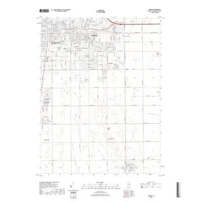
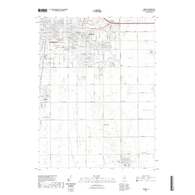
Editions of this 1906 Urbana Map
7 editions found
Historical Maps of Champaign Through Time
10 maps found
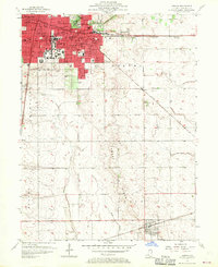
1906 Urbana
Champaign County, IL
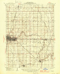
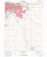
1957 Urbana
Champaign County, IL
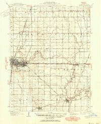
1957 Urbana
Champaign County, IL
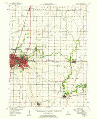
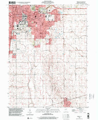
1970 Urbana
Champaign County, IL
1998 Urbana
Champaign County, IL
2012 Urbana
Champaign County, IL
2015 Urbana
Champaign County, IL
2018 Urbana
Champaign County, IL
2021 Urbana
Champaign County, IL
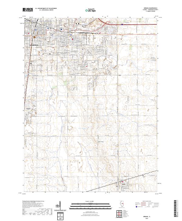
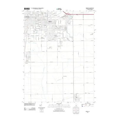
2024 Urbana
Champaign County, IL