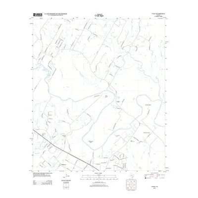
2013 Map of Utley
USGS Topo · Published 2013About this map
The Colorado River carves a winding path through this central Texas landscape, creating dramatic oxbows at Pope Bend, Wilbargers Bend, and Hemphill Bend. This 2013 survey shows the evolving character of the river valley, where traditional agricultural land at Hemphill Prairie meets modern residential growth. The unincorporated communities of Utley and Wyldwood serve as local anchors, with Wyldwood showing significant suburbanization south of Highway 71. Local history is preserved at the Walker Watson Cem and highlighted by landmarks like Caldwell Knob. The drainage network is dense, defined by numerous tributaries including Wilbarger Cr, Coleman Br, and Red Gully Cr, which illustrate the erosion patterns across Moccasin Cyn. The map reflects a landscape in transition, where old ranch roads like Old Austin Trl now intersect with newer residential developments.
Find a feature on this map
108 named features on this map. Tap any name to fly to it.
Don’t see what you’re looking for? This feature index may not catch every label — zoom into the map to look around manually.
Map Details
Editions of this 2013 Utley Map
This is the sole edition of this map. No revisions or reprints were ever made.
Other maps of this area
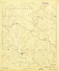
1885 · Bastrop
USGS Topo · 1:125,000
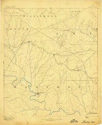
1893 · Bastrop
USGS Topo · 1:125,000
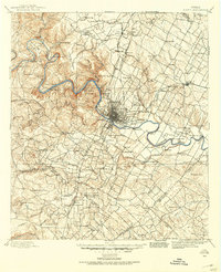
1896 · Austin
USGS Topo · 1:125,000
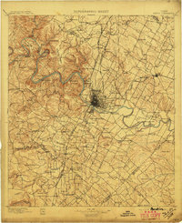
1897 · Austin
USGS Topo · 1:125,000
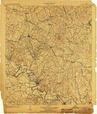
1904 · Bastrop
USGS Topo · 1:125,000
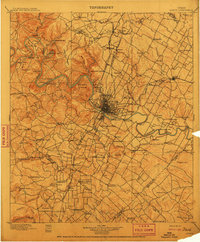
1910 · Austin
USGS Topo · 1:125,000
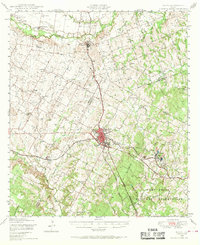
1948 · Elgin
USGS Topo · 1:62,500
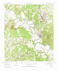
1948 · Bastrop
USGS Topo · 1:62,500
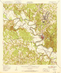
1950 · Bastrop
USGS Topo · 1:62,500
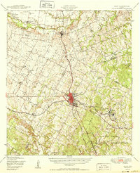
1950 · Elgin
USGS Topo · 1:62,500