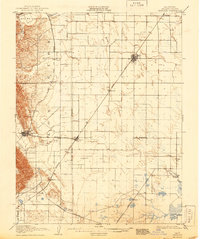
1908 Map of Vacaville
USGS Topo · Published 1944About this map
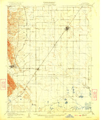
The Vaca Mountains rise sharply along the western edge of this early twentieth-century survey, forming a dramatic backdrop to the orchards and rail-oriented settlements of the Sacramento Valley. The Southern Pacific railroad serves as the primary spine of the region, connecting established agricultural hubs like Vacaville and Dixon with smaller outposts such as Batavia and Hartley. In the flatlands to the southeast, the landscape transitions toward the Sacramento River delta, where Maine Prairie and Dozier sit near the tidal influence of Cache Slough and Hass Slough. This map reveals an era when the Southern Pacific (Clear Lake Branch) was still an active corridor for regional trade. Of particular interest to local historians is the Gas Well located south of Cannon, hinting at early resource exploration alongside the established ranching and fruit-growing economy defined by the Mount Diablo Meridian.
Find a feature on this map
29 named features on this map. Tap any name to fly to it.
Don’t see what you’re looking for? This feature index may not catch every label — zoom into the map to look around manually.
Map Details
Editions of this 1908 Vacaville Map
3 editions found
Other maps of this area

1896 · Carquinez Strait
USGS Topo · 1:62,500

1898 · Karquines
USGS Topo · 1:62,500

1901 · Karquines
USGS Topo · 1:62,500

1902 · Napa
USGS Topo · 1:125,000

1907 · Woodland
USGS Topo · 1:62,500

1907 · Davisville
USGS Topo · 1:62,500

1907 · Antioch
USGS Topo · 1:62,500

1908 · Vacaville
USGS Topo · 1:62,500

1908 · Courtland
USGS Topo · 1:62,500

1908 · Antioch
USGS Topo · 1:62,500