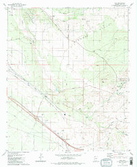
1981 Map of Vail
USGS Topo · Published 1981About this map
The settlement of Vail serves as the focal point of this 1981 survey, positioned at the junction where the Southern Pacific tracks meet the early suburban expansion of the Rincon Valley. The landscape is defined by the ephemeral drainage patterns of Pantano Wash and Cienega Creek, which have historically dictated the placement of transit routes and early cattle operations. Long-standing ranching traditions are evident at the Rocking K Ranch and La Posta Quemada Ranch, while the inclusion of the Santa Rita Shrine and a local Cem offers touchpoints for genealogical research in this portion of Pima County.
Find a feature on this map
40 named features on this map. Tap any name to fly to it.
Don’t see what you’re looking for? This feature index may not catch every label — zoom into the map to look around manually.
Map Details
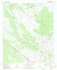
Editions of this 1981 Vail Map
2 editions found
Other maps of this area

1904 · Patagonia
USGS Topo · 1:125,000

1904 · Tucson
USGS Topo · 1:125,000

1905 · Patagonia
USGS Topo · 1:125,000

1905 · Tucson
USGS Topo · 1:125,000

1926 · Helvetia
USGS Topo · 1:62,500

1948 · Tucson
USGS Topo · 1:62,500

1956 · Nogales
USGS Topo · 1:250,000

1956 · Tucson
USGS Topo · 1:250,000

1957 · Tucson East
USGS Topo · 1:24,000

1957 · Tucson
USGS Topo · 1:62,500