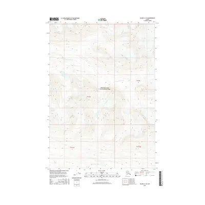
2016 Map of Valdez A-1 SE
USGS Topo · Published 2016About this map
Wrangell-Saint Elias National Park encompasses the vast majority of this 2016 survey, a landscape defined by extreme topographic relief and high-altitude glacial drainage. The glacial waters of the E Fork Little Bremner River flow through the northern reaches, while Price Cr cuts through the southern terrain, illustrating the complex hydrologic patterns of the Chugach Mountains region. This map provides a technical look at the wilderness within the Unorganized Borough, documenting the specific township and range lines of the Public Land Survey System, including t9s r7e and t10s r8e, as they were recorded in the early 21st century.
Find a feature on this map
7 named features on this map. Tap any name to fly to it.
Don’t see what you’re looking for? This feature index may not catch every label — zoom into the map to look around manually.
Map Details
Editions of this 2016 Valdez A-1 SE Map
This is the sole edition of this map. No revisions or reprints were ever made.
Other maps of this area

1948 · Cordova
USGS Topo · 1:250,000

1950 · McCarthy A-8
USGS Topo · 1:63,360

1950 · Bering Glacier
USGS Topo · 1:250,000

1951 · McCarthy
USGS Topo · 1:250,000

1951 · Bering Glacier
USGS Topo · 1:250,000

1951 · Cordova
USGS Topo · 1:250,000

1951 · Valdez A-1
USGS Topo · 1:63,360

1952 · Valdez
USGS Topo · 1:250,000

1959 · Cordova D-1
USGS Topo · 1:63,360

1959 · Bering Glacier
USGS Topo · 1:250,000