
1960 Map of Valdez A-7
USGS Topo · Published 1965About this map
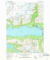
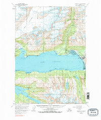
The town of Valdez serves as the focal point of this coastal survey, appearing as it did before the devastating earthquake of March 27, 1964. Located on the eastern edge of Port Valdez, the community is shown at the terminus of the Richardson Highway, adjacent to the Valdez Airport and the sprawling Tidal Flat of the Lowe River. The map provides a detailed view of the regional mining infrastructure that supported the area’s economy, with several named operations scattered throughout the northern mountains, including the Midas Mine, Hercules Mine, and the Johnson Mill.
Find a feature on this map
52 named features on this map. Tap any name to fly to it.
Don’t see what you’re looking for? This feature index may not catch every label — zoom into the map to look around manually.
Map Details
Editions of this 1960 Valdez A-7 Map
3 editions found
Other maps of this area

1948 · Cordova
USGS Topo · 1:250,000

1950 · Cordova D-7
USGS Topo · 1:63,360

1951 · Cordova
USGS Topo · 1:250,000

1951 · Cordova D-8
USGS Topo · 1:63,360

1951 · Cordova D-6
USGS Topo · 1:63,360

1951 · Valdez B-6
USGS Topo · 1:63,360

1951 · Valdez A-6
USGS Topo · 1:63,360

1952 · Valdez
USGS Topo · 1:250,000

1952 · Cordova D-8
USGS Topo · 1:63,360

1952 · Cordova D-7
USGS Topo · 1:63,360