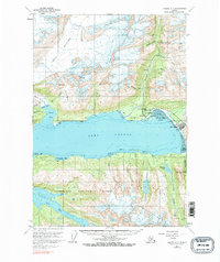
1960 Map of Valdez A-7
USGS Topo · Published 1971About this map
Valdez and the adjacent Old Valdez sit at the edge of Port Valdez in this detailed survey of the Prince William Sound region. The landscape is defined by the massive Shoup Glacier to the west and the Lowe River delta to the east, providing a clear view of the area's geography before the 1964 earthquake altered the coastline. Hard-rock mining history is well-documented throughout the surrounding mountains, with labels for the Cliff Mine near Shoup Bay, the Midas Mine on Solomon Gulch, and the Big Four Mine higher in the peaks. The map also records early twentieth-century military and industrial sites, including the Fort Liscum (Site) on the southern shore and the Johnson Mill located near Johnson Glacier. From the Valdez Airport to the Chugach National Forest boundaries, the map captures a pivotal Alaskan gateway during its post-war development.
Find a feature on this map
48 named features on this map. Tap any name to fly to it.
Don’t see what you’re looking for? This feature index may not catch every label — zoom into the map to look around manually.
Map Details
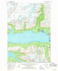
Editions of this 1960 Valdez A-7 Map
3 editions found

Other maps of this area

1948 · Cordova
USGS Topo · 1:250,000

1950 · Cordova D-7
USGS Topo · 1:63,360

1951 · Cordova
USGS Topo · 1:250,000

1951 · Cordova D-8
USGS Topo · 1:63,360

1951 · Cordova D-6
USGS Topo · 1:63,360

1951 · Valdez B-6
USGS Topo · 1:63,360

1951 · Valdez A-6
USGS Topo · 1:63,360

1952 · Valdez
USGS Topo · 1:250,000

1952 · Cordova D-8
USGS Topo · 1:63,360

1952 · Cordova D-7
USGS Topo · 1:63,360