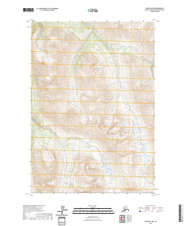
2023 Map of Valdez B-4 NW
USGS Topo · Published 2023About this map
High-altitude watercourses like Quartz Creek and Bear Creek define this glaciated terrain in the Copper River Census Area. The landscape is marked by a network of historic access routes, most notably the 54 Mile Trl and the Hurtle Creek Trl, which follow the natural contours of the mountain valleys. These trails suggest a history of remote transit through the wilderness, likely serving early exploration or mineral prospecting efforts. Surveyed in 2023, the map documents the modern drainage patterns of the Hurtle Creek and Slate Creek systems, providing a detailed look at the hydrology of this interior Alaskan region before further environmental shifts.
Find a feature on this map
13 named features on this map. Tap any name to fly to it.
Don’t see what you’re looking for? This feature index may not catch every label — zoom into the map to look around manually.
Map Details
Editions of this 2023 Valdez B-4 NW Map
This is the sole edition of this map. No revisions or reprints were ever made.
Other maps of this area

1951 · Valdez B-5
USGS Topo · 1:63,360

1951 · Valdez C-4
USGS Topo · 1:63,360

1951 · Valdez B-4
USGS Topo · 1:63,360

1951 · Valdez C-5
USGS Topo · 1:63,360

1952 · Valdez
USGS Topo · 1:250,000

1953 · Valdez B-4
USGS Topo · 1:63,360

1953 · Valdez C-5
USGS Topo · 1:63,360

1953 · Valdez C-4
USGS Topo · 1:63,360

1960 · Valdez
USGS Topo · 1:250,000

1994 · Valdez B-4
USGS Topo · 1:63,360