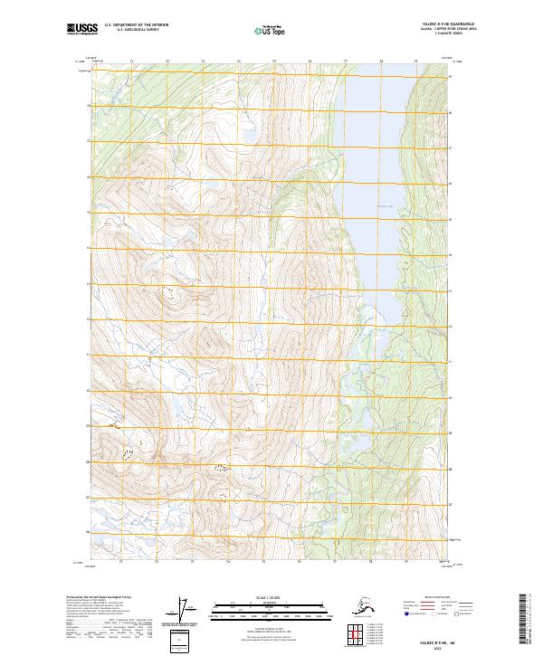
2023 Map of Valdez B-5 NE
USGS Topo · Published 2023About this map
Tonsina Lake dominates the eastern edge of this Copper River Census Area terrain, serving as the primary reservoir for the local drainage system. The cold waters of Tonsina River flow through the valley floor, fed by high-elevation tributaries including Greyling Creek in the northwest and Hurtle Creek further south. The landscape is defined by the steep, surveyed sections of the Chugach Mountains, where the Public Land Survey System grid overlays significant vertical relief. This 2023 survey documents the glacial geography of the region, illustrating how the river and its creeks carve through the township boundaries of t4s r2w and t5s r2w before reaching the lake basin.
Find a feature on this map
10 named features on this map. Tap any name to fly to it.
Don’t see what you’re looking for? This feature index may not catch every label — zoom into the map to look around manually.
Map Details
Editions of this 2023 Valdez B-5 NE Map
This is the sole edition of this map. No revisions or reprints were ever made.
Other maps of this area

1951 · Valdez B-5
USGS Topo · 1:63,360

1951 · Valdez C-4
USGS Topo · 1:63,360

1951 · Valdez B-4
USGS Topo · 1:63,360

1951 · Valdez C-5
USGS Topo · 1:63,360

1952 · Valdez
USGS Topo · 1:250,000

1953 · Valdez B-4
USGS Topo · 1:63,360

1953 · Valdez C-5
USGS Topo · 1:63,360

1953 · Valdez C-4
USGS Topo · 1:63,360

1960 · Valdez
USGS Topo · 1:250,000

1994 · Valdez B-4
USGS Topo · 1:63,360