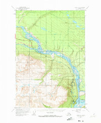
1951 Map of Valdez C-2
USGS Topo · Published 1973About this map
Chitina River and the Copper River converge in this mid-century survey, defining a landscape of braided riverbeds and glacial drainage. The settlement of Chitina serves as a focal point at the confluence, connected by the Edgerton Highway to the interior. This survey, based on 1950 aerial photography and 1951 field annotation, captures the transport infrastructure of the era, including the Chitina Municipal Airfield and the road corridor passing through Lower Tonsina.
Find a feature on this map
26 named features on this map. Tap any name to fly to it.
Don’t see what you’re looking for? This feature index may not catch every label — zoom into the map to look around manually.
Map Details
Editions of this 1951 Valdez C-2 Map
3 editions found
Other maps of this area

1951 · Valdez B-2
USGS Topo · 1:63,360

1951 · Valdez B-3
USGS Topo · 1:63,360

1951 · Valdez B-1
USGS Topo · 1:63,360

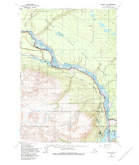
1951 · Valdez C-2
USGS Topo · 1:63,360

1951 · Valdez C-3
USGS Topo · 1:63,360

1951 · Valdez C-1
USGS Topo · 1:63,360

1952 · Valdez
USGS Topo · 1:250,000

1953 · Valdez C-2
USGS Topo · 1:63,360

1953 · Valdez C-3
USGS Topo · 1:63,360

1953 · Valdez C-1
USGS Topo · 1:63,360