
1951 Map of Valdez C-3
USGS Topo · Published 1964About this map
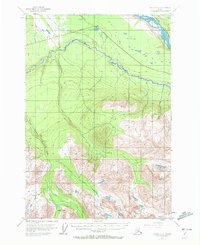
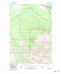
Kenney Lake sits at the northern edge of this Alaskan survey, marking a small pocket of settlement along the route toward Copper Center. The landscape is dominated by the massive drainage of the Copper River and its powerful tributary, the Tonsina River, which cuts a deep path across the northern terrain. The infrastructure of the early 1950s is defined by the Copper River Highway, a critical lifeline for this interior region during the post-war era.
Find a feature on this map
8 named features on this map. Tap any name to fly to it.
Don’t see what you’re looking for? This feature index may not catch every label — zoom into the map to look around manually.
Map Details
Editions of this 1951 Valdez C-3 Map
3 editions found
Other maps of this area

1949 · Valdez D-4
USGS Topo · 1:63,360

1951 · Valdez B-2
USGS Topo · 1:63,360

1951 · Valdez B-3
USGS Topo · 1:63,360

1951 · Valdez C-2
USGS Topo · 1:63,360

1951 · Valdez C-4
USGS Topo · 1:63,360

1951 · Valdez B-4
USGS Topo · 1:63,360

1952 · Valdez
USGS Topo · 1:250,000

1952 · Valdez D-4
USGS Topo · 1:63,360

1953 · Valdez C-2
USGS Topo · 1:63,360

1953 · Valdez C-3
USGS Topo · 1:63,360