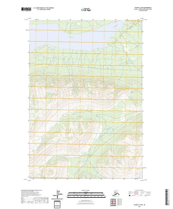
2023 Map of Valdez C-5 NW
USGS Topo · Published 2023About this map
Klutina Lake dominates the northern reaches of this glacial terrain, where the Klutina River flows through a narrow valley framed by sharp ridgelines. The landscape is defined by its deep drainage patterns, most notably where Chultikana Creek enters from the north into the lake's cold waters. The survey illustrates the complex hydrography of the Copper River Census Area, revealing the intricate network of unnamed tributaries that feed into these primary arteries. This modern topographical study captures the wilderness in high resolution, following the natural contours and township lines of T1S R4W and T2S R3W through the Alaskan backcountry.
Find a feature on this map
8 named features on this map. Tap any name to fly to it.
Don’t see what you’re looking for? This feature index may not catch every label — zoom into the map to look around manually.
Map Details
Editions of this 2023 Valdez C-5 NW Map
This is the sole edition of this map. No revisions or reprints were ever made.
Other maps of this area

1948 · Valdez D-5
USGS Topo · 1:63,360

1949 · Valdez D-6
USGS Topo · 1:63,360

1950 · Valdez C-6
USGS Topo · 1:63,360

1951 · Valdez D-5
USGS Topo · 1:63,360

1951 · Valdez D-6
USGS Topo · 1:63,360

1951 · Valdez C-5
USGS Topo · 1:63,360

1952 · Valdez
USGS Topo · 1:250,000

1953 · Valdez C-6
USGS Topo · 1:63,360

1953 · Valdez C-5
USGS Topo · 1:63,360

1960 · Valdez
USGS Topo · 1:250,000