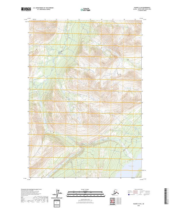
2023 Map of Valdez C-5 SE
USGS Topo · Published 2023About this map
Tonsina Lake anchors the southeastern corner of this landscape in the Copper River Census Area, where the terrain is defined by the complex hydrology of the Chugach Mountains. Several drainages, including Manker Creek, Twin Lake Creek, and Greyling Creek, carve through the steep elevations. The map reveals the intricate natural drainage patterns that flow into the larger Copper River basin. Land divisions are clearly marked by township and range lines, such as t3s r2w and t4s r3w, which provide essential reference points for land use and resource management in this region. This survey illustrates the untouched character of the Alaskan interior, showing a landscape without roads or permanent settlements, where only the water bodies and surveying boundaries provide a framework for orientation.
Find a feature on this map
8 named features on this map. Tap any name to fly to it.
Don’t see what you’re looking for? This feature index may not catch every label — zoom into the map to look around manually.
Map Details
Editions of this 2023 Valdez C-5 SE Map
This is the sole edition of this map. No revisions or reprints were ever made.
Other maps of this area

1951 · Valdez B-5
USGS Topo · 1:63,360

1951 · Valdez C-4
USGS Topo · 1:63,360

1951 · Valdez B-4
USGS Topo · 1:63,360

1951 · Valdez C-5
USGS Topo · 1:63,360

1952 · Valdez
USGS Topo · 1:250,000

1953 · Valdez B-4
USGS Topo · 1:63,360

1953 · Valdez C-5
USGS Topo · 1:63,360

1953 · Valdez C-4
USGS Topo · 1:63,360

1960 · Valdez
USGS Topo · 1:250,000

1994 · Valdez B-4
USGS Topo · 1:63,360