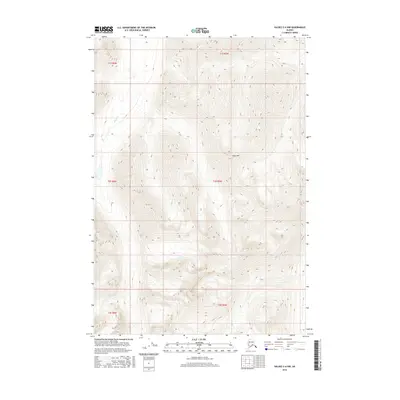
2016 Map of Valdez C-6 NW
USGS Topo · Published 2016About this map
Dyke Mtn dominates this high-latitude terrain within the Unorganized Borough, where steep elevation gradients define the local geography. This 2016 survey highlights a landscape largely shaped by seasonal hydrology, most notably the headwaters and drainage of Kaina Cr in the western reaches. The area is gridded by the Public Land Survey System across multiple townships, including t2s r5w and t1s r6w, indicating a structured approach to land management in this isolated portion of the Alaskan interior. The map records a wilderness state devoid of permanent structures or developed roads, offering a precise view of the topography before any further human imprint or significant climatic shifts altered these drainage patterns.
Find a feature on this map
8 named features on this map. Tap any name to fly to it.
Don’t see what you’re looking for? This feature index may not catch every label — zoom into the map to look around manually.
Map Details
Editions of this 2016 Valdez C-6 NW Map
This is the sole edition of this map. No revisions or reprints were ever made.
Other maps of this area

1949 · Valdez D-6
USGS Topo · 1:63,360

1949 · Valdez D-7
USGS Topo · 1:63,360

1950 · Valdez C-6
USGS Topo · 1:63,360

1951 · Valdez D-6
USGS Topo · 1:63,360

1951 · Valdez D-7
USGS Topo · 1:63,360

1952 · Valdez
USGS Topo · 1:250,000

1953 · Valdez C-6
USGS Topo · 1:63,360

1960 · Valdez C-7
USGS Topo · 1:63,360

1960 · Valdez
USGS Topo · 1:250,000
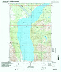
1993 · Valdez D-7
USGS Topo · 1:63,360