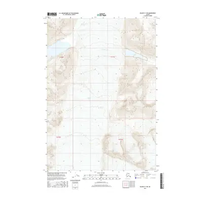
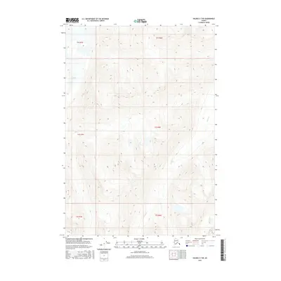
2016 Map of Valdez C-7 SW
USGS Topo · Published 2016About this map
Tazlina Glacier dominates this high-altitude landscape in the southern Copper River region of Alaska, where massive ice fields and glacial meltwater shape the topography. This 2016 survey documents the expansive Ted Stevens Icefield, illustrating the vast accumulation of ice that feeds into the surrounding glacial systems. To the east, the map reveals Iceberg Lake, a significant water body formed by the surrounding glacial environment. The intricate contour lines provided by the U.S. Geological Survey detail the extreme elevation changes characteristic of this portion of the Chugach Mountains, offering a precise look at the glaciated terrain within the township and range divisions of t3s r8w and t3s r7w.
Find a feature on this map
7 named features on this map. Tap any name to fly to it.
Don’t see what you’re looking for? This feature index may not catch every label — zoom into the map to look around manually.
Map Details
Editions of this 2016 Valdez C-7 SW Map
This is the sole edition of this map. No revisions or reprints were ever made.
Other maps of this area

1952 · Valdez
USGS Topo · 1:250,000

1960 · Valdez B-7
USGS Topo · 1:63,360

1960 · Valdez C-7
USGS Topo · 1:63,360

1960 · Valdez B-8
USGS Topo · 1:63,360

1960 · Valdez C-8
USGS Topo · 1:63,360

1960 · Valdez
USGS Topo · 1:250,000
1993 · Valdez C-7
USGS Topo · 1:63,360
1993 · Valdez C-8
USGS Topo · 1:63,360
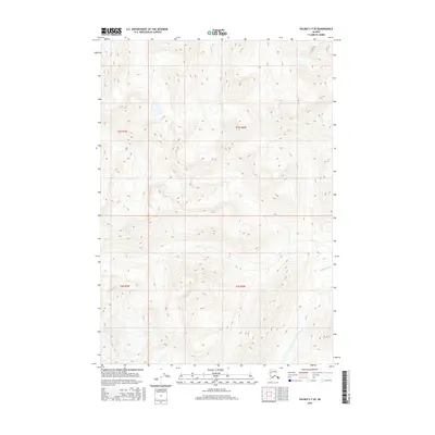
2016 · Valdez C-7 SE
USGS Topo · 1:25,000
2016 · Valdez C-7 NE
USGS Topo · 1:25,000