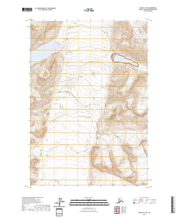
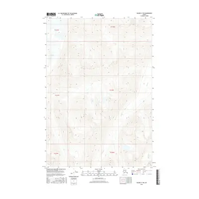
2023 Map of Valdez C-7 SW
USGS Topo · Published 2023About this map
Iceberg Lake occupies a high-elevation basin in the northeastern reaches of this mountain landscape, its waters contained by steep, contour-rich slopes and glacial terrain. The quadrangle is defined by its complex hydrography and sharp elevation changes, mapped using 2015 National Elevation Dataset data to show the intricate drainage patterns that feed into the Copper River Census Area. The absence of roads or established settlements highlights the wilderness character of the region, where the primary organizational markers are the Public Land Survey System boundaries, including t3s r8w and t3s r7w. This survey provides a precise record of the shoreline and elevation contours as they existed in the early twenty-first century, offering a baseline for studying glacial recession and alpine hydrology.
Find a feature on this map
5 named features on this map. Tap any name to fly to it.
Don’t see what you’re looking for? This feature index may not catch every label — zoom into the map to look around manually.
Map Details
Editions of this 2023 Valdez C-7 SW Map
This is the sole edition of this map. No revisions or reprints were ever made.
Other maps of this area

1952 · Valdez
USGS Topo · 1:250,000

1960 · Valdez B-7
USGS Topo · 1:63,360

1960 · Valdez C-7
USGS Topo · 1:63,360

1960 · Valdez B-8
USGS Topo · 1:63,360

1960 · Valdez C-8
USGS Topo · 1:63,360

1960 · Valdez
USGS Topo · 1:250,000
1993 · Valdez C-7
USGS Topo · 1:63,360
1993 · Valdez C-8
USGS Topo · 1:63,360
2016 · Valdez C-7 SE
USGS Topo · 1:25,000
2016 · Valdez C-7 NE
USGS Topo · 1:25,000