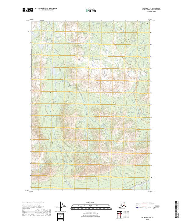
2023 Map of Valdez D-5 SW
USGS Topo · Published 2023About this map
Ottaway Valley and the surrounding peaks define this portion of the Copper River Census Area, captured here in a 2023 survey. The landscape is marked by the glacial drainages of Chultikana Creek, which flows south toward the larger Klutina River visible at the bottom edge of the sheet. High elevations are punctuated by named landmarks including Mt Carter, Sunny Peak, and Dowling Peak. Human passage through this high country is evidenced by the Mt. Carter Trl and its corresponding Mt. Carter Spur Trl, which navigate the steep contours. At the southern terminus, the Brenwick-Craig Road provides the primary valley access, following the river corridor. This modern survey illustrates the persistent isolation of the interior Alaskan ranges, where infrastructure remains limited to primitive roads and high-altitude trails.
Find a feature on this map
13 named features on this map. Tap any name to fly to it.
Don’t see what you’re looking for? This feature index may not catch every label — zoom into the map to look around manually.
Map Details
Editions of this 2023 Valdez D-5 SW Map
This is the sole edition of this map. No revisions or reprints were ever made.
Other maps of this area

1948 · Valdez D-5
USGS Topo · 1:63,360

1949 · Valdez D-6
USGS Topo · 1:63,360

1950 · Valdez C-6
USGS Topo · 1:63,360

1951 · Valdez D-5
USGS Topo · 1:63,360

1951 · Valdez D-6
USGS Topo · 1:63,360

1951 · Valdez C-5
USGS Topo · 1:63,360

1952 · Valdez
USGS Topo · 1:250,000

1953 · Valdez C-6
USGS Topo · 1:63,360

1953 · Valdez C-5
USGS Topo · 1:63,360

1960 · Valdez
USGS Topo · 1:250,000