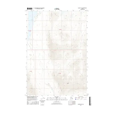
2016 Map of Valdez D-6 SE
USGS Topo · Published 2016About this map
Saint Anne Lake and the surrounding high country of the Unorganized Borough define this portion of the Chugach Mountains as it was documented in 2016. The terrain is dominated by the steep slopes of Cranberry Peak, which rises sharply above the drainage of Saint Anne Cr. This 2016 survey provides a precise record of the elevation and hydrological patterns in a landscape devoid of human infrastructure, showing only the natural boundaries of the public land survey system. The map reflects a moment of modern topographical study using SPOT imagery and National Elevation Dataset contours to chart the relationship between the glacial lake and its alpine tributaries.
Find a feature on this map
7 named features on this map. Tap any name to fly to it.
Don’t see what you’re looking for? This feature index may not catch every label — zoom into the map to look around manually.
Map Details
Editions of this 2016 Valdez D-6 SE Map
This is the sole edition of this map. No revisions or reprints were ever made.
Other maps of this area

1948 · Valdez D-5
USGS Topo · 1:63,360

1949 · Valdez D-6
USGS Topo · 1:63,360

1950 · Valdez C-6
USGS Topo · 1:63,360

1951 · Valdez D-5
USGS Topo · 1:63,360

1951 · Valdez D-6
USGS Topo · 1:63,360

1951 · Valdez C-5
USGS Topo · 1:63,360

1952 · Valdez
USGS Topo · 1:250,000

1953 · Valdez C-6
USGS Topo · 1:63,360

1953 · Valdez C-5
USGS Topo · 1:63,360

1960 · Valdez
USGS Topo · 1:250,000