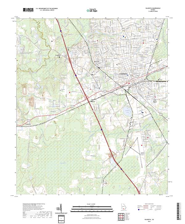
2024 Map of Valdosta
USGS Topo · Published 2024About this map
The Valdosta area serves as a major South Georgia hub where the Norfolk Southern rail line intersects a landscape defined by significant water systems and regional institutions. The map highlights the city's development around the Lowndes County Courthouse and the sprawling campus of Valdosta State University. To the west, the confluence of the Little River and Withlacoochee River marks the site of Troupville, an early settlement predecessor to the modern city.
Find a feature on this map
282 named features on this map. Tap any name to fly to it.
Don’t see what you’re looking for? This feature index may not catch every label — zoom into the map to look around manually.
Map Details
Editions of this 2024 Valdosta Map
This is the sole edition of this map. No revisions or reprints were ever made.
Other maps of this area

1954 · Valdosta
USGS Topo · 1:250,000

1956 · Clyattville
USGS Topo · 1:24,000

1956 · Nankin
USGS Topo · 1:24,000

1958 · Valdosta
USGS Topo · 1:250,000

1959 · Valdosta
USGS Topo · 1:250,000

1961 · Hahira East
USGS Topo · 1:24,000

1961 · Valdosta
USGS Topo · 1:24,000

1961 · Hahira West
USGS Topo · 1:24,000

1961 · Ousley
USGS Topo · 1:24,000

1971 · Indianola
USGS Topo · 1:24,000