
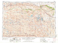
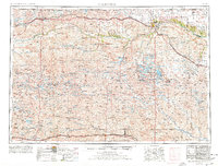
1957 Map of Valentine
USGS Topo · Published 1960About this map
The Sand Hills of northern Nebraska dominate this mid-century survey, revealing a landscape defined by expansive cattle ranching and sparse but critical water resources. At the heart of Cherry County, the town of Valentine serves as a central hub, flanked by the Fort Niobrara National Wildlife Refuge and the Nebraska National Forest. The map documents a distinct ranching economy, where family-named operations like the Dahlgren Ranch, Knight Ranch, and Bornemann Ranch are scattered across the vast dune topography.
Find a feature on this map
169 named features on this map. Tap any name to fly to it.
Don’t see what you’re looking for? This feature index may not catch every label — zoom into the map to look around manually.
Map Details
Editions of this 1957 Valentine Map
3 editions found
Other maps of this area

1947 · Dismal River Ranch
USGS Topo · 1:62,500

1948 · Seneca
USGS Topo · 1:62,500

1948 · Ashby
USGS Topo · 1:62,500

1948 · Bingham
USGS Topo · 1:62,500

1948 · Thedford
USGS Topo · 1:62,500

1948 · Carr Lake
USGS Topo · 1:62,500

1948 · Mullen
USGS Topo · 1:62,500

1948 · Halsey
USGS Topo · 1:62,500

1948 · Seneca 4
USGS Topo · 1:62,500

1948 · Spade Ranch
USGS Topo · 1:62,500