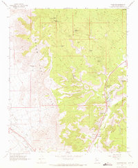
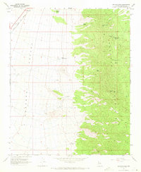
1968 Map of Valentine
USGS Topo · Published 1971About this map
The Grand Wash Cliffs dominate this portion of Mohave County, where the high desert plateau drops dramatically toward the Hualapai Valley. This 1960s survey documents a landscape defined by water scarcity and the essential infrastructure of the Atchison Topeka and Santa Fe railroad line. Settlement is concentrated at Valentine, situated near the Hualapai Indian School Reserve, and the nearby Hackberry Siding, which served as a vital link for the region's ranching and rail operations.
Find a feature on this map
34 named features on this map. Tap any name to fly to it.
Don’t see what you’re looking for? This feature index may not catch every label — zoom into the map to look around manually.
Map Details
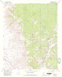
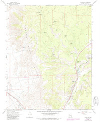
Editions of this 1968 Valentine Map
3 editions found
Other maps of this area

1886 · Diamond Creek
USGS Topo · 1:250,000

1892 · Diamond Creek
USGS Topo · 1:250,000

1948 · Williams
USGS Topo · 1:250,000

1954 · Williams
USGS Topo · 1:250,000

1956 · Williams
USGS Topo · 1:250,000

1960 · Williams
USGS Topo · 1:250,000

1961 · Williams
USGS Topo · 1:250,000
1967 · Milkweed Canyon SE
USGS Topo · 1:24,000

1967 · Milkweed Canyon SW
USGS Topo · 1:24,000
1968 · Peacock Peak
USGS Topo · 1:24,000