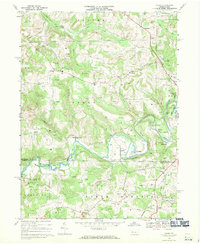
1968 Map of Valier
USGS Topo · Published 1970About this map
The Mahoning Creek valley serves as a central artery for industry and transport in this 1968 survey of southern Jefferson County. The Baltimore and Ohio railroad follows the winding creek through small coal-country settlements like Valier, Hamilton, and Fordham. The landscape is characterized by extensive extractive activity, with strip mines and gas wells scattered across the hills of Oliver and Perry townships.
Find a feature on this map
57 named features on this map. Tap any name to fly to it.
Don’t see what you’re looking for? This feature index may not catch every label — zoom into the map to look around manually.
Map Details
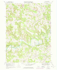
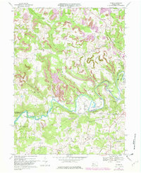
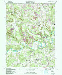
Editions of this 1968 Valier Map
4 editions found
Other maps of this area
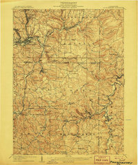
1906 · Punxsutawney
USGS Topo · 1:62,500
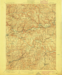
1909 · Smicksburg
USGS Topo · 1:62,500

1922 · Du Bois
USGS Topo · 1:62,500

1924 · Du Bois
USGS Topo · 1:62,500
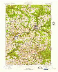
1924 · Brookville
USGS Topo · 1:62,500
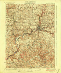
1926 · Brookville
USGS Topo · 1:62,500
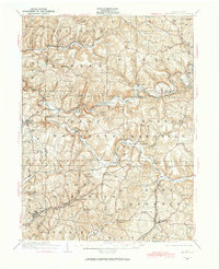
1938 · Smicksburg
USGS Topo · 1:62,500
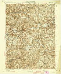
1939 · Smicksburg
USGS Topo · 1:62,500
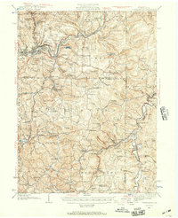
1939 · Punxsutawney
USGS Topo · 1:62,500
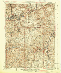
1942 · Punxsutawney
USGS Topo · 1:62,500
Featured Places
- Sportsburg, Young Township
- Oliver Township, PA
- West Mahoning Township, PA
- North Mahoning Township, PA
- Perry Township, PA