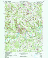
1968 Map of Valier
USGS Topo · Published 1993About this map
Mahoning Creek winds through the heart of this landscape, marking the boundary between Jefferson and Indiana counties. The area is defined by a dense network of energy extraction, where numerous Gas Wells dot the hillsides alongside extensive Strip Mines, some of which are noted as Reclaimed Strip Mines. This resource-heavy economy is balanced by established rural communities and agricultural markers, including many small schools and houses of worship that anchored local life in the late 1960s.
Find a feature on this map
56 named features on this map. Tap any name to fly to it.
Don’t see what you’re looking for? This feature index may not catch every label — zoom into the map to look around manually.
Map Details
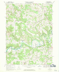
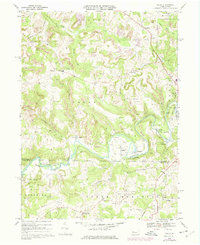
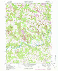
Editions of this 1968 Valier Map
4 editions found
Other maps of this area

1906 · Punxsutawney
USGS Topo · 1:62,500

1909 · Smicksburg
USGS Topo · 1:62,500

1922 · Du Bois
USGS Topo · 1:62,500

1924 · Du Bois
USGS Topo · 1:62,500

1924 · Brookville
USGS Topo · 1:62,500

1926 · Brookville
USGS Topo · 1:62,500

1938 · Smicksburg
USGS Topo · 1:62,500

1939 · Smicksburg
USGS Topo · 1:62,500

1939 · Punxsutawney
USGS Topo · 1:62,500

1942 · Punxsutawney
USGS Topo · 1:62,500
Featured Places
- Sportsburg, Young Township
- Oliver Township, PA
- West Mahoning Township, PA
- North Mahoning Township, PA
- Perry Township, PA