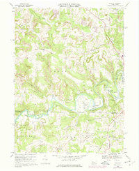
1968 Map of Valier
USGS Topo · Published 1975About this map
Mahoning Creek winds through the heart of this Western Pennsylvania landscape, serving as a primary corridor for both geography and transportation. In the late 1960s, the area's industrial character is defined by the numerous Strip Mines and gas wells scattered across the hills of Perry and Oliver townships. Significant rail infrastructure is present, with the Baltimore and Ohio and Penn Central lines navigating the valleys to serve settlements like Valier and Horatio.
Find a feature on this map
50 named features on this map. Tap any name to fly to it.
Don’t see what you’re looking for? This feature index may not catch every label — zoom into the map to look around manually.
Map Details
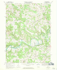
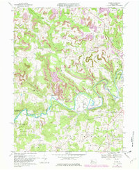
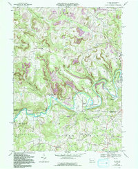
Editions of this 1968 Valier Map
4 editions found
Other maps of this area

1906 · Punxsutawney
USGS Topo · 1:62,500

1909 · Smicksburg
USGS Topo · 1:62,500

1922 · Du Bois
USGS Topo · 1:62,500

1924 · Du Bois
USGS Topo · 1:62,500

1924 · Brookville
USGS Topo · 1:62,500

1926 · Brookville
USGS Topo · 1:62,500

1938 · Smicksburg
USGS Topo · 1:62,500

1939 · Smicksburg
USGS Topo · 1:62,500

1939 · Punxsutawney
USGS Topo · 1:62,500

1942 · Punxsutawney
USGS Topo · 1:62,500
Featured Places
- Sportsburg, Young Township
- Oliver Township, PA
- West Mahoning Township, PA
- North Mahoning Township, PA
- Perry Township, PA