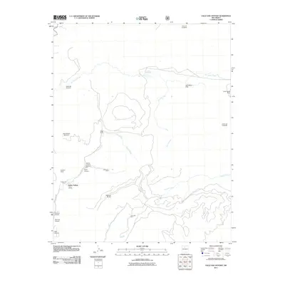
2011 Map of Valle San Antonio
USGS Topo · Published 2011About this map
Sulphur Springs serves as the focal point of this high-elevation landscape, where geothermal activity and mineral extraction define the local geography. The map captures a unique intersection of industrial effort and natural thermal features, prominently displaying the Alamo Canyon Steam Well Mine and a second Steam Well Mine near the center of the sheet. These sites, along with the Sulphur Bank Group, indicate a specialized history of tapping volcanic resources within the Valles Caldera region.
Find a feature on this map
28 named features on this map. Tap any name to fly to it.
Don’t see what you’re looking for? This feature index may not catch every label — zoom into the map to look around manually.
Map Details
Editions of this 2011 Valle San Antonio Map
This is the sole edition of this map. No revisions or reprints were ever made.
Other maps of this area
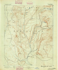
1890 · Jemes
USGS Topo · 1:125,000
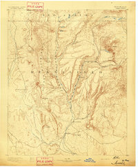
1892 · Jemes
USGS Topo · 1:125,000
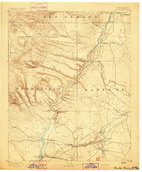
1892 · Santa Clara
USGS Topo · 1:125,000
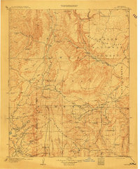
1909 · Gallina
USGS Topo · 1:125,000
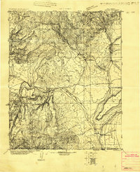
1918 · Abiquiu
USGS Topo · 1:125,000
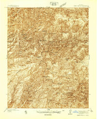
1937 · Jemez Springs
USGS Topo · 1:48,000
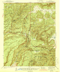
1944 · Jemez Springs
USGS Topo · 1:62,500
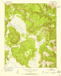
1952 · Valle Toledo
USGS Topo · 1:24,000
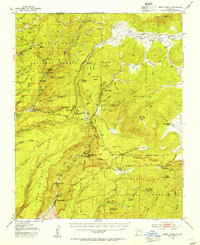
1952 · Jemez Springs
USGS Topo · 1:62,500
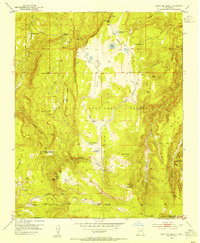
1953 · Cerro Del Grant
USGS Topo · 1:24,000