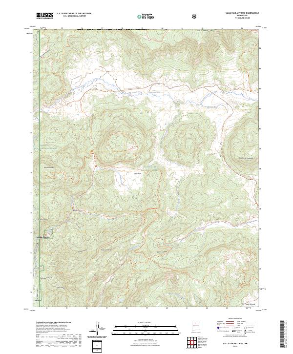
2023 Map of Valle San Antonio
USGS Topo · Published 2023About this map
Valles Caldera National Preserve dominates this high-altitude landscape, revealing the complex geological basin formed by ancient volcanic activity. The hydrothermal history of the area is evident at Sulphur Springs and the San Antonio Warm Spring, which sit among a network of high mountain meadows or "valles." The map details the transition between the Santa Fe National Forest and the preserve, marking prominent peaks like San Antonio Mtn and Cerros de Trasquilar.
Find a feature on this map
40 named features on this map. Tap any name to fly to it.
Don’t see what you’re looking for? This feature index may not catch every label — zoom into the map to look around manually.
Map Details
Editions of this 2023 Valle San Antonio Map
This is the sole edition of this map. No revisions or reprints were ever made.
Other maps of this area

1890 · Jemes
USGS Topo · 1:125,000

1892 · Jemes
USGS Topo · 1:125,000

1892 · Santa Clara
USGS Topo · 1:125,000

1909 · Gallina
USGS Topo · 1:125,000

1918 · Abiquiu
USGS Topo · 1:125,000

1937 · Jemez Springs
USGS Topo · 1:48,000

1944 · Jemez Springs
USGS Topo · 1:62,500

1952 · Valle Toledo
USGS Topo · 1:24,000

1952 · Jemez Springs
USGS Topo · 1:62,500

1953 · Cerro Del Grant
USGS Topo · 1:24,000