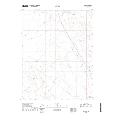
2023 Map of Valley City
USGS Topo · Published 2023About this map
Mancos Desert W and the expansive badlands of the Blue Hills define this arid landscape in Grand County. The terrain is characterized by a complex network of seasonal drainages, including Thompson Wash and Crescent Wash, which carry runoff toward the Salt Valley during heavy rains. These natural watercourses are punctuated by human-engineered water storage features such as the Rock Corral Reservoir and Tenmile Wash Reservoir, reflecting the necessity of water management in this high-desert environment.
Find a feature on this map
18 named features on this map. Tap any name to fly to it.
Don’t see what you’re looking for? This feature index may not catch every label — zoom into the map to look around manually.
Map Details
Editions of this 2023 Valley City Map
This is the sole edition of this map. No revisions or reprints were ever made.
Other maps of this area

1885 · La Sal
USGS Topo · 1:250,000

1951 · The Knoll
USGS Topo · 1:62,500

1952 · Moab 4 NW
USGS Topo · 1:24,000

1952 · Moab 3 NE
USGS Topo · 1:24,000

1952 · Moab 3 NW
USGS Topo · 1:24,000

1956 · Moab
USGS Topo · 1:250,000

1958 · Crescent Junction
USGS Topo · 1:62,500

1958 · Thompson
USGS Topo · 1:62,500

1959 · Moab
USGS Topo · 1:250,000
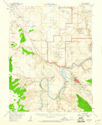
1959 · Moab
USGS Topo · 1:62,500