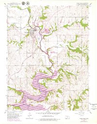
1959 Map of Valley Falls
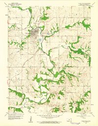
USGS Topo · Published 1979About this map
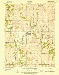
Valley Falls serves as the focal point of this Jefferson County landscape, situated at the confluence of several key waterways including Cedar Creek and Walnut Creek. The 1979 photorevisions highlight a significant transformation in the southern portion of the quadrangle, where the waters of Perry Lake have reshaped the valley floor. This change is accompanied by the establishment of expansive conservation zones such as the Delaware Game Management Area and the Perry State Game Management Area, reflecting a shift toward recreational and ecological land use.
Find a feature on this map
27 named features on this map. Tap any name to fly to it.
Don’t see what you’re looking for? This feature index may not catch every label — zoom into the map to look around manually.
Map Details
Editions of this 1959 Valley Falls Map
2 editions found
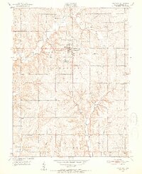
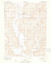
Other maps of this area

1886 · Oskaloosa
USGS Topo · 1:125,000

1888 · Oskaloosa
USGS Topo · 1:125,000

1889 · Topeka
USGS Topo · 1:125,000

1894 · Oskaloosa
USGS Topo · 1:125,000

1894 · Topeka
USGS Topo · 1:125,000

1950 · Kansas City
USGS Topo · 1:250,000
1951 · Oskaloosa
USGS Topo · 1:24,000
1951 · Ozawkie
USGS Topo · 1:24,000
1952 · Meriden
USGS Topo · 1:24,000

1954 · Kansas City
USGS Topo · 1:250,000