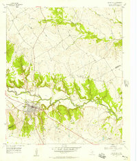
1957 Map of Valley Mills
USGS Topo · Published 1958About this map
Valley Mills sits at a strategic crossing of the Bosque River, serving as a central hub for the surrounding ranching and agricultural lands of Bosque and McLennan counties. The town's layout is defined by the route of the Gulf Colorado and Santa Fe railroad, which parallels the river as it winds through a landscape marked by steep depressions like Wildcat Canyon and Thompson Hollow. This mid-century survey reveals the area's social fabric through several burial sites, including the Old Valley Mills Cem and Thiele Cem, alongside the Waco Boys Camp (YMCA) located near a distinct curve in the river known as Horseshoe Bend. To the southeast, the Delmar Ranch (Headquarters) highlights the continuing importance of large-scale cattle operations in the Central Texas region.
Find a feature on this map
22 named features on this map. Tap any name to fly to it.
Don’t see what you’re looking for? This feature index may not catch every label — zoom into the map to look around manually.
Map Details
Editions of this 1957 Valley Mills Map
2 editions found
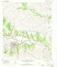
Other maps of this area

1888 · Meridian
USGS Topo · 1:125,000

1892 · Waco
USGS Topo · 1:125,000

1894 · Meridian
USGS Topo · 1:125,000

1920 · Waco
USGS Topo · 1:125,000

1924 · Waco 3-d
USGS Topo · 1:48,000

1931 · Whitney
USGS Topo · 1:62,500

1931 · Valley Mills
USGS Topo · 1:62,500

1954 · Waco
USGS Topo · 1:250,000

1955 · Waco
USGS Topo · 1:250,000

1955 · Clifton
USGS Topo · 1:24,000