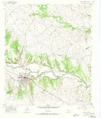
1957 Map of Valley Mills
USGS Topo · Published 1971About this map
The North Bosque River winds through this central Texas landscape, defining the layout of Valley Mills as it stood in the mid-20th century. The town's economic lifeblood is anchored by the Atchison Topeka and Santa Fe railroad, which cuts through the heart of the settlement. For genealogists, the map is particularly detailed, identifying multiple burial sites including Old Valley Mills Cem, Thiele Cem, and Goodall Cem. To the east, the Waco Boys Camp (YMCA) sits near a pronounced Horseshoe Bend in the river, reflecting the area's recreational use. The terrain is marked by significant drainages like Childress Creek and the long reach of Thompson Hollow, while the Bosque and McLennan county line bisects the southeastern corner near the Delmar Ranch.
Find a feature on this map
29 named features on this map. Tap any name to fly to it.
Don’t see what you’re looking for? This feature index may not catch every label — zoom into the map to look around manually.
Map Details
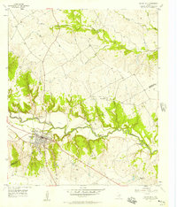
Editions of this 1957 Valley Mills Map
2 editions found
Other maps of this area

1888 · Meridian
USGS Topo · 1:125,000

1892 · Waco
USGS Topo · 1:125,000

1894 · Meridian
USGS Topo · 1:125,000

1920 · Waco
USGS Topo · 1:125,000

1924 · Waco 3-d
USGS Topo · 1:48,000

1931 · Whitney
USGS Topo · 1:62,500

1931 · Valley Mills
USGS Topo · 1:62,500

1954 · Waco
USGS Topo · 1:250,000

1955 · Waco
USGS Topo · 1:250,000

1955 · Clifton
USGS Topo · 1:24,000