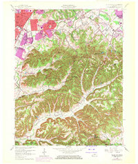
1960 Map of Valley Station
USGS Topo · Published 1972About this map
Jefferson County Memorial Forest anchors this landscape, revealing a complex network of ridges and hollows such as Blevins Gap and Coalpit Hollow. To the northwest, the suburban expansion of Valley Station and Prairie Village is evident in the 1970s updates, which show residential growth pushing toward the steep slopes of Waverly Hills. The map traces the historical path of the Illinois Central railroad and the Dixie Highway, illustrating the critical transportation corridors that fueled growth south of Louisville. Genealogists will find a wealth of family-named landmarks and resting places, including Bethany Cem, Risinger Cem, and Brown Cem. The transition from the developed valley floor to the high points like Mitchell Hill and Potato Knob demonstrates the topographical constraints that shaped local settlement patterns and land use during this era.
Find a feature on this map
84 named features on this map. Tap any name to fly to it.
Don’t see what you’re looking for? This feature index may not catch every label — zoom into the map to look around manually.
Map Details
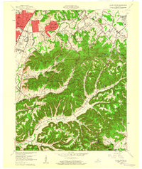
Editions of this 1960 Valley Station Map
2 editions found
Other maps of this area

1907 · Louisville
USGS Topo · 1:62,500

1909 · Kosmosdale
USGS Topo · 1:48,000

1912 · Kosmosdale
USGS Topo · 1:62,500

1936 · Vine Grove
USGS Topo · 1:62,500

1943 · Vine Grove
USGS Topo · 1:62,500

1946 · Pitts Point
USGS Topo · 1:24,000

1946 · Fort Knox
USGS Topo · 1:24,000

1946 · Vine Grove
USGS Topo · 1:62,500

1949 · Shepherdsville
USGS Topo · 1:24,000

1949 · Shepherdsville
USGS Topo · 1:62,500