Loading...
Loading map...1965 Map of Valley
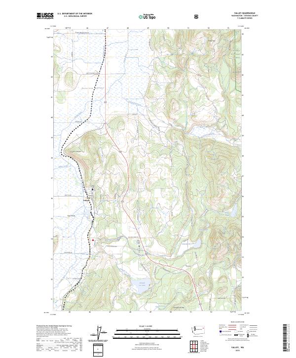
USGS Topo · Published 1986About this map
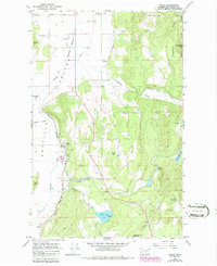
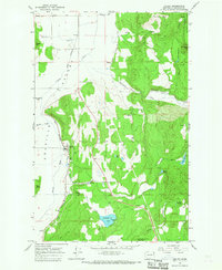
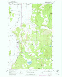
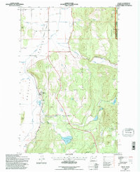
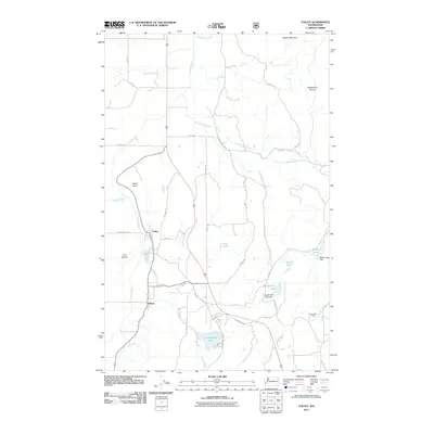
The Burlington Northern railroad corridor serves as the primary artery through this section of the Colville River valley, connecting the settlement of Valley to the northern reaches of the quadrangle. This 1965 survey, updated in the mid-1980s, reveals a landscape defined by its transition from the flat agricultural river bottom to the high elevations of the Colville National Forest. The geography is dotted with evidence of local industry and rural life, including a Quarry near Franzwa and the Blue Bird Mine situated near the southeastern heights.
Find a feature on this map
36 named features on this map. Tap any name to fly to it.
Don’t see what you’re looking for? This feature index may not catch every label — zoom into the map to look around manually.
Map Details
Date Portrayed1965
Date Published1986
PublisherU.S. Geological Survey
Map TypeTopographic
Scale1:24,000
Physical Dimensions22 x 26.9 inches
Editions of this 1965 Valley Map
Historical Maps of Kulzer Through Time
7 maps found
Featured Locations
Source Details
SourceU.S. Geological Survey
CopyrightPublic Domain