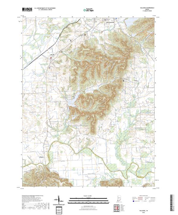
2022 Map of Vallonia
USGS Topo · Published 2022About this map
Vallonia anchors a landscape defined by the winding course of the East Fork White River and the Muscatatuck River in southern Indiana. This area reflects a long-standing agricultural and river-based economy, where small settlements like Millport and Wegan sit among a complex network of drainage ditches such as Smallwood Ditch and Singer Ditch. The terrain shifts from the flat river bottoms into the wooded ridges of Starve Hollow, a prominent topographic feature that now contains Starve Hollow Lake.
Find a feature on this map
86 named features on this map. Tap any name to fly to it.
Don’t see what you’re looking for? This feature index may not catch every label — zoom into the map to look around manually.
Map Details
Editions of this 2022 Vallonia Map
This is the sole edition of this map. No revisions or reprints were ever made.
Other maps of this area

1951 · Smedley
USGS Topo · 1:24,000

1953 · Kossuth
USGS Topo · 1:24,000

1956 · Vincennes
USGS Topo · 1:250,000

1956 · Louisville
USGS Topo · 1:250,000

1957 · Vincennes
USGS Topo · 1:250,000

1958 · Vincennes
USGS Topo · 1:250,000

1958 · Little York
USGS Topo · 1:24,000

1958 · Brownstown
USGS Topo · 1:24,000

1958 · Seymour
USGS Topo · 1:24,000
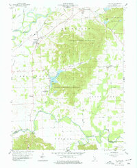
1959 · Vallonia
USGS Topo · 1:24,000