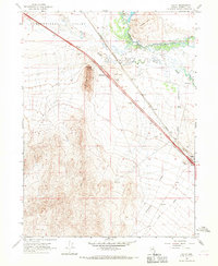
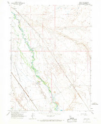
1965 Map of Valmy
USGS Topo · Published 1967About this map
The Southern Pacific railroad and the Humboldt River corridor dominate this mid-1960s landscape, serving as the primary arteries through the high desert of Humboldt County. The small settlement of Valmy sits at the intersection of rail and road, anchored by the Stonehouse Interchange on Interstate 80. The map reveals a transition from the wide, flat expanse of Pumpernickel Valley to the more prominent relief of Lone Tree Hill and Treaty Hill.
Find a feature on this map
20 named features on this map. Tap any name to fly to it.
Don’t see what you’re looking for? This feature index may not catch every label — zoom into the map to look around manually.
Map Details
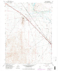
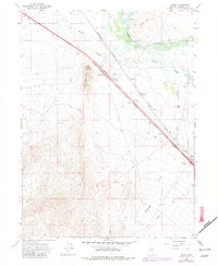
Editions of this 1965 Valmy Map
3 editions found
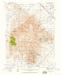
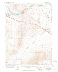
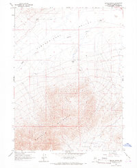
Other maps of this area

1932 · Sonoma Range
USGS Topo · 1:250,000

1939 · Sonoma Range
USGS Topo · 1:250,000
1940 · Antler Peak
USGS Topo · 1:62,500

1943 · Antler Peak
USGS Topo · 1:62,500

1955 · Winnemucca
USGS Topo · 1:250,000

1958 · Winnemucca
USGS Topo · 1:250,000

1962 · Winnemucca
USGS Topo · 1:250,000
1965 · Knight
USGS Topo · 1:24,000
1965 · Edna Mountain
USGS Topo · 1:62,500
1965 · Brooks Spring
USGS Topo · 1:24,000