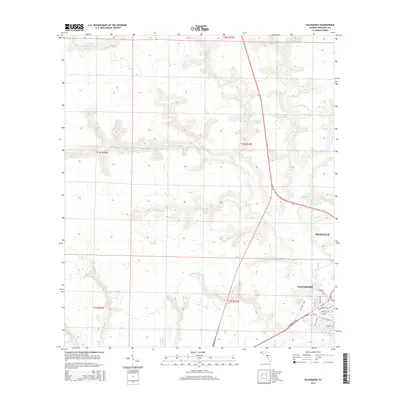
2015 Map of Valparaiso
USGS Topo · Published 2015About this map
Niceville and Valparaiso anchor the southeastern corner of this landscape, where the urban grid meets the intricate drainage basins of the Florida Panhandle. The geography is defined by a dense network of watercourses including Turkey Cr, Lightwood Knot Cr, and Juniper Cr, which carve through the terrain toward the coast. Notable localized features such as Blue Pond and Sweeney Cem provide specific points of interest for local historians and genealogists tracking family footprints in Okaloosa County.
Find a feature on this map
38 named features on this map. Tap any name to fly to it.
Don’t see what you’re looking for? This feature index may not catch every label — zoom into the map to look around manually.
Map Details
Editions of this 2015 Valparaiso Map
This is the sole edition of this map. No revisions or reprints were ever made.
Other maps of this area

1934 · Holt
USGS Topo · 1:48,000

1934 · Niceville
USGS Topo · 1:48,000

1935 · Villa Tasso
USGS Topo · 1:48,000

1936 · Niceville
USGS Topo · 1:62,500

1937 · Holt
USGS Topo · 1:62,500

1938 · Mary Esther
USGS Topo · 1:62,500

1938 · Villa Tasso
USGS Topo · 1:62,500

1956 · Niceville
USGS Topo · 1:62,500

1956 · Fort Walton Beach
USGS Topo · 1:62,500

1956 · Holt
USGS Topo · 1:62,500