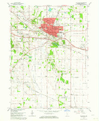
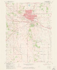
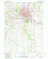
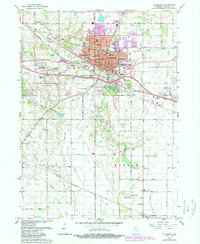
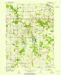
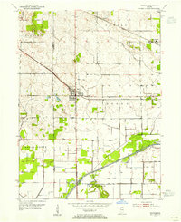
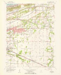
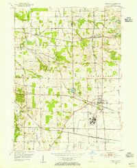
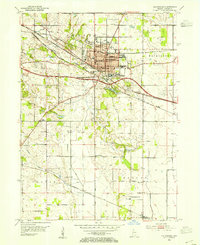
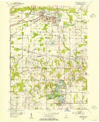
1962 Map of Valparaiso
USGS Topo · Published 1964About this map
The city of Valparaiso serves as the hub of this early 1960s survey, characterized by its growing residential neighborhoods and educational anchors. Institutions like Valparaiso University and the Valparaiso Technical Institute define the town's character, while the surrounding landscape of Center and Washington townships remains primarily rural. The area is dotted with several localized residential developments such as Marian Manor, Sylvan Manor, and Coolwood Acres, indicating the post-war suburban expansion typical of this era.
Find a feature on this map
69 named features on this map. Tap any name to fly to it.
Don’t see what you’re looking for? This feature index may not catch every label — zoom into the map to look around manually.
Map Details
Editions of this 1962 Valparaiso Map
4 editions found
Other maps of this area
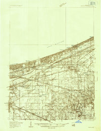
1934 · Porter
USGS Topo · 1:48,000
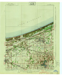
1940 · Porter
USGS Topo · 1:62,500
1953 · Palmer
USGS Topo · 1:24,000
1953 · Wanatah
USGS Topo · 1:24,000
1953 · Hebron
USGS Topo · 1:24,000
1953 · Garyton
USGS Topo · 1:24,000
1953 · Westville
USGS Topo · 1:24,000
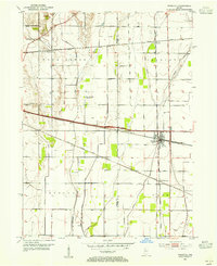
1953 · Valparaiso
USGS Topo · 1:24,000
1953 · Chesterton
USGS Topo · 1:24,000
1953 · Kouts
USGS Topo · 1:24,000