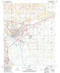
1987 Map of Van Buren
USGS Topo · Published 1988About this map
Van Buren serves as a vital river and rail hub along the Arkansas River in this late 1980s look at the border of Crawford and Sebastian counties. The city's core is densely plotted, showing the Post Office, Courthouse, and numerous schools like the Izard Sch and Van Buren High Sch. The industrial and transportation identity of the region is evident in the path of the St Louis-San Francisco RR and the proximity of the Twin City Airport.
Find a feature on this map
74 named features on this map. Tap any name to fly to it.
Don’t see what you’re looking for? This feature index may not catch every label — zoom into the map to look around manually.
Map Details
Editions of this 1987 Van Buren Map
2 editions found
Other maps of this area

1879 · Fort Smith
USGS Topo · 1:62,500

1887 · Van Buren
USGS Topo · 1:62,500

1890 · Fort Smith
USGS Topo · 1:125,000

1898 · Winslow #4
USGS Topo · 1:62,500

1898 · Winslow #3
USGS Topo · 1:62,500

1898 · Winslow
USGS Topo · 1:125,000

1901 · Winslow
USGS Topo · 1:125,000

1906 · Lavaca
USGS Topo · 1:62,500

1943 · Fort Smith
USGS Topo · 1:125,000

1946 · Fort Smith
USGS Topo · 1:250,000