
1959 Map of Van Vleet
USGS Topo · Published 1960About this map
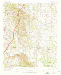
The Natchez Trace Parkway carves a bold arc through the western hills of this 1959 survey, marked as still under construction near Witch Dance Hill. This transition between the rugged western ridges and the flat bottomlands of Chuquatonchee Creek defines the local geography. Settlements like Van Vleet and Buena Vista anchor the rural landscape, which is remarkably dense with community institutions.
Find a feature on this map
89 named features on this map. Tap any name to fly to it.
Don’t see what you’re looking for? This feature index may not catch every label — zoom into the map to look around manually.
Map Details
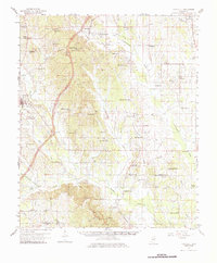
Editions of this 1959 Van Vleet Map
3 editions found
Other maps of this area

1953 · West Point
USGS Topo · 1:250,000

1956 · Tupelo
USGS Topo · 1:250,000

1958 · Tupelo
USGS Topo · 1:250,000

1958 · West Point
USGS Topo · 1:250,000

1959 · West Point
USGS Topo · 1:62,500

1959 · Pheba
USGS Topo · 1:62,500

1963 · West Point
USGS Topo · 1:250,000

1965 · Egypt
USGS Topo · 1:24,000

1966 · Shannon
USGS Topo · 1:24,000

1966 · Prairie
USGS Topo · 1:24,000