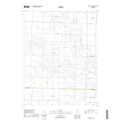
2017 Map of Vandalia Lake
USGS Topo · Published 2017About this map
Vandalia Lake and Elmer Foree Lake sit within a landscape defined by the drainage of the W Fork Cuivre River and its various tributaries. This 2017 survey shows the agricultural character of the region on the border of Audrain and Montgomery counties. The rural road network, including State Hwy AA and Hwy K, connects dispersed farmsteads and points of local historical significance. Genealogists and local historians will find several burial sites recorded, including New Providence Cem, Edwards Cem, and Fike Cem, providing a direct link to the families who settled this part of Missouri. The map also traces the winding paths of Bear Slough and Hickory Cr, illustrating how the waterway systems influenced the development and boundaries of the surrounding townships.
Find a feature on this map
69 named features on this map. Tap any name to fly to it.
Don’t see what you’re looking for? This feature index may not catch every label — zoom into the map to look around manually.
Map Details
Editions of this 2017 Vandalia Lake Map
This is the sole edition of this map. No revisions or reprints were ever made.
Other maps of this area
1890 · Louisiana
USGS Topo · 1:125,000
1890 · Mexico
USGS Topo · 1:125,000
1942 · Wellsville
USGS Topo · 1:62,500
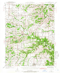
1942 · Bellflower
USGS Topo · 1:62,500
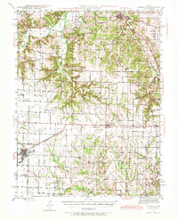
1943 · Vandalia
USGS Topo · 1:62,500
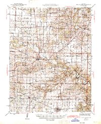
1945 · Bellflower
USGS Topo · 1:62,500
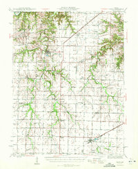
1945 · Perry
USGS Topo · 1:62,500
1945 · Vandalia
USGS Topo · 1:62,500
1948 · Quincy
USGS Topo · 1:250,000
1956 · Quincy
USGS Topo · 1:250,000