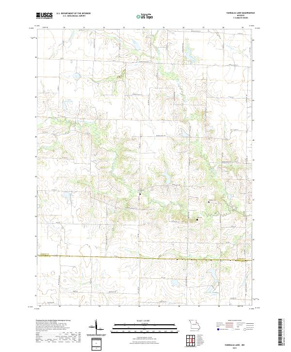
2021 Map of Vandalia Lake
USGS Topo · Published 2021About this map
The W Fork Cuivre River and its numerous tributaries, including Hickory Cr and Johns Br, carve a dense drainage network across this rural landscape on the border of Audrain and Montgomery counties. This 2021 survey details the persistence of local family and community heritage through several small burial grounds, such as New Providence Cem, Fike Cem, and Edwards Cem, which are situated among the agricultural fields and woodlots. The map illustrates a contemporary rural infrastructure defined by a grid of county roads, including Co RD 517 and State HWY Aa, connecting scattered farmsteads. Water management is a visible priority in the region, evidenced by significant local impoundments like Elmer Foree Lake and Fred Wenzel Lake, which punctuate the headwaters of the regional creek systems.
Find a feature on this map
63 named features on this map. Tap any name to fly to it.
Don’t see what you’re looking for? This feature index may not catch every label — zoom into the map to look around manually.
Map Details
Editions of this 2021 Vandalia Lake Map
This is the sole edition of this map. No revisions or reprints were ever made.
Other maps of this area

1890 · Louisiana
USGS Topo · 1:125,000

1890 · Mexico
USGS Topo · 1:125,000

1942 · Wellsville
USGS Topo · 1:62,500

1942 · Bellflower
USGS Topo · 1:62,500

1943 · Vandalia
USGS Topo · 1:62,500

1945 · Bellflower
USGS Topo · 1:62,500

1945 · Perry
USGS Topo · 1:62,500

1945 · Vandalia
USGS Topo · 1:62,500

1948 · Quincy
USGS Topo · 1:250,000

1956 · Quincy
USGS Topo · 1:250,000