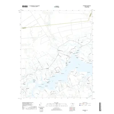
2019 Map of Vandemere
USGS Topo · Published 2019About this map
Vandemere and Bayboro anchor this coastal landscape where the Bay River meets a complex network of creeks and marshes. The geography is defined by its maritime orientation, with numerous family and descriptive landmarks such as Flea Point, Powers Point, and Graveyard Point marking the irregular shoreline. The interior transition from Gum Swamp down to the brackish waters of Mason Creek and Rice Creek reveals the low-lying character of Pamlico County, where small settlements like Hollyville, Maribel, and Stonewall are linked by a web of local roads such as Lumber Landing Rd and Pennsylvania Ave. This survey captures the traditional coastal layout before modern development significantly altered the rural pockets of Florence and The Hammock. Researchers will find interest in the specific placement of municipal landmarks like the Post Office and various local cemeteries that denote the area's long-established communities.
Find a feature on this map
120 named features on this map. Tap any name to fly to it.
Don’t see what you’re looking for? This feature index may not catch every label — zoom into the map to look around manually.
Map Details
Editions of this 2019 Vandemere Map
This is the sole edition of this map. No revisions or reprints were ever made.
Other maps of this area

1948 · Oriental
USGS Topo · 1:24,000

1950 · Vandemere
USGS Topo · 1:24,000

1950 · Lowland
USGS Topo · 1:24,000

1950 · South Creek
USGS Topo · 1:24,000

1950 · Jones Bay
USGS Topo · 1:24,000

1950 · Aurora
USGS Topo · 1:24,000

1950 · Arapahoe
USGS Topo · 1:24,000

1951 · Arapahoe
USGS Topo · 1:24,000

1951 · Broad Creek
USGS Topo · 1:24,000

1953 · Rocky Mount
USGS Topo · 1:250,000