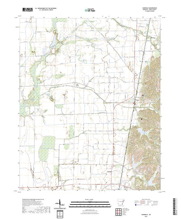
2024 Map of Vanndale
USGS Topo · Published 2024About this map
Crowleys Ridge rises distinctly above the surrounding delta lowlands in this detailed survey of Cross County. This geological formation dictates the local geography, separating the flat alluvial plains of the L'Anguille River and McFaran Branch to the west from the more elevated terrain to the east. The settlement of Vanndale sits at a crossroads near the ridge's edge, while the northern outskirts of Wynne extend into the southern portion of the sheet.
Find a feature on this map
55 named features on this map. Tap any name to fly to it.
Don’t see what you’re looking for? This feature index may not catch every label — zoom into the map to look around manually.
Map Details
Editions of this 2024 Vanndale Map
This is the sole edition of this map. No revisions or reprints were ever made.
Other maps of this area

1939 · Vanndale
USGS Topo · 1:62,500

1939 · Wynne
USGS Topo · 1:62,500

1940 · Princedale
USGS Topo · 1:62,500

1940 · Whitmore
USGS Topo · 1:62,500

1953 · Memphis
USGS Topo · 1:250,000

1956 · Memphis
USGS Topo · 1:250,000

1956 · Whitmore
USGS Topo · 1:62,500

1956 · Princedale
USGS Topo · 1:62,500

1958 · Wynne
USGS Topo · 1:62,500

1958 · Vanndale
USGS Topo · 1:62,500