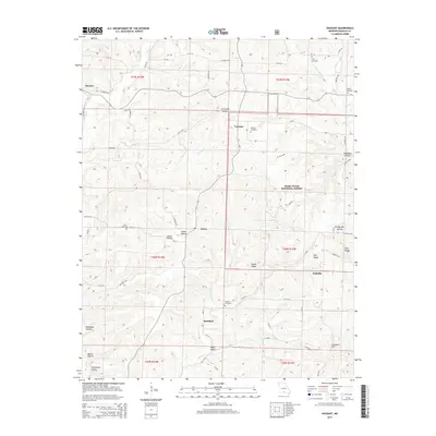
2015 Map of Vanzant
USGS Topo · Published 2015About this map
Vanzant and its surrounding hamlets in the Missouri Ozarks represent a landscape defined by deep-cut hollows and significant local genealogical markers. This 2015 update of the terrain shows a pattern of high-ridge settlements, where small communities like Drury and Buckhart are positioned near headwaters and creek confluences. The network of county roads, such as Co Road 144 and Co Road 246, follows the natural contours between White Ridge and Nye Ridge, connecting family burial sites including the Clifty Cemetery and Call Cemetery. Within the Mark Twain National Forest, the topography is notably dissected by drainages like Greasy Cr and the W Fork Brush Cr, creating isolated features such as Toothpick Hollow and Twin Knobs. The map detail allows for a precise understanding of how the rural Douglas County road network navigates these steep elevation changes to maintain access to established homesteads and timber resources.
Find a feature on this map
77 named features on this map. Tap any name to fly to it.
Don’t see what you’re looking for? This feature index may not catch every label — zoom into the map to look around manually.
Map Details
Editions of this 2015 Vanzant Map
This is the sole edition of this map. No revisions or reprints were ever made.
Other maps of this area

1937 · Buckhart
USGS Topo · 1:48,000

1939 · Topaz
USGS Topo · 1:62,500

1941 · Topaz
USGS Topo · 1:62,500

1943 · Buckhart
USGS Topo · 1:62,500

1945 · Harrison
USGS Topo · 1:250,000

1945 · Buckhart
USGS Topo · 1:62,500

1949 · Harrison
USGS Topo · 1:250,000

1950 · Cabool SW
USGS Topo · 1:24,000

1951 · Norwood
USGS Topo · 1:24,000

1951 · Mountain Grove South
USGS Topo · 1:24,000