
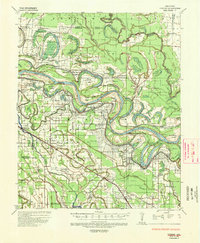
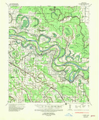
1935 Map of Varner
USGS Topo · Published 1938About this map
The Arkansas River dominates this mid-1930s landscape, its complex meanders creating landforms like Cooper Island and Sample Island. The river’s influence is seen in the extensive system of levees and the Douglas Cut-Off, reflecting the ongoing efforts of the Corps of Engineers to manage the flood-prone bottomlands. This era in Lincoln and Jefferson Counties is marked by a massive institutional presence, specifically the numerous state penal facilities such as State Penal Farm No 5 and State Penal Farm No 3 located along the river bends.
Find a feature on this map
109 named features on this map. Tap any name to fly to it.
Don’t see what you’re looking for? This feature index may not catch every label — zoom into the map to look around manually.
Map Details
Editions of this 1935 Varner Map
3 editions found
Other maps of this area

1935 · Feenyville
USGS Topo · 1:62,500

1935 · Altheimer
USGS Topo · 1:62,500

1935 · Noble Lake
USGS Topo · 1:62,500

1935 · Rotan
USGS Topo · 1:62,500

1935 · Red Fork
USGS Topo · 1:62,500

1935 · Gillett
USGS Topo · 1:62,500

1941 · De Witt
USGS Topo · 1:62,500

1941 · Goldman
USGS Topo · 1:62,500

1948 · Helena
USGS Topo · 1:250,000

1950 · Helena
USGS Topo · 1:250,000