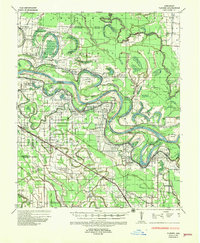
1935 Map of Varner
USGS Topo · Published 1957About this map
Arkansas River oxbows and bottomland dominate this 1935 survey, revealing a landscape defined by its intricate water systems and early 20th-century agriculture. The Arkansas and Lincoln county borderlands are dotted with numerous penal institutions, including State Penal Farm No 5 and State Penal Farm No 2, situated alongside the river's winding meander lines. Transportation in this era relied on a mix of river crossings like Greenback Ferry and the rail corridors of the Missouri Pacific and ST Louis Southwestern lines, which supported timber and cotton transport from settlements like Grady and Varner.
Find a feature on this map
115 named features on this map. Tap any name to fly to it.
Don’t see what you’re looking for? This feature index may not catch every label — zoom into the map to look around manually.
Map Details
Editions of this 1935 Varner Map
3 editions found
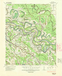
Other maps of this area

1935 · Feenyville
USGS Topo · 1:62,500

1935 · Altheimer
USGS Topo · 1:62,500

1935 · Varner
USGS Topo · 1:62,500

1935 · Noble Lake
USGS Topo · 1:62,500

1935 · Rotan
USGS Topo · 1:62,500

1935 · Red Fork
USGS Topo · 1:62,500

1935 · Gillett
USGS Topo · 1:62,500

1941 · De Witt
USGS Topo · 1:62,500

1941 · Goldman
USGS Topo · 1:62,500

1948 · Helena
USGS Topo · 1:250,000