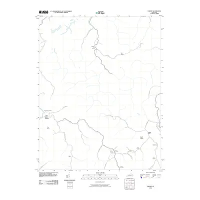
2010 Map of Varney
USGS Topo · Published 2010About this map
Varney and its surrounding hollows in Pike County are defined by a network of creeks and branches that dictated the settlement patterns of this Appalachian landscape. Small communities such as Laura, Heenon, and Piso are linked by winding roads like Bye Straw Rd and Brushy Rd, following the natural contours of the land. The topography is punctuated by landmarks like Flag Knob and the fertile Apple Orchard Bottom near the Spankum Branch.
Find a feature on this map
34 named features on this map. Tap any name to fly to it.
Don’t see what you’re looking for? This feature index may not catch every label — zoom into the map to look around manually.
Map Details
Editions of this 2010 Varney Map
This is the sole edition of this map. No revisions or reprints were ever made.
Other maps of this area

1886 · Prestonsburg
USGS Topo · 1:125,000

1887 · Warfield
USGS Topo · 1:125,000

1891 · Warfield
USGS Topo · 1:125,000

1892 · Prestonsburg
USGS Topo · 1:125,000

1910 · Naugatuck
USGS Topo · 1:48,000

1912 · Naugatuck
USGS Topo · 1:62,500

1914 · Laynesville
USGS Topo · 1:48,000

1914 · Inez
USGS Topo · 1:48,000

1915 · Williamson
USGS Topo · 1:48,000

1915 · Naugatuck
USGS Topo · 1:48,000