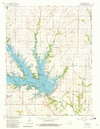
1965 Map of Vassar
USGS Topo · Published 1982About this map
Pomona Lake dominates this mid-1960s landscape, having transformed the confluence of several major waterways including Dragoon Creek and Hundred and Ten Mile Creek. The creation of this reservoir introduced numerous recreation areas, such as the Wolf Creek Recreation Area and Vassar State Park, fundamentally altering the local geography around the settlement of Vassar. Despite this modernization, the map preserves older historical markers, most notably the Old Indian Treaty Boundary that cuts horizontally across the terrain.
Find a feature on this map
29 named features on this map. Tap any name to fly to it.
Don’t see what you’re looking for? This feature index may not catch every label — zoom into the map to look around manually.
Map Details
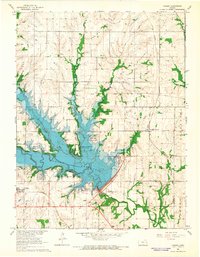
Editions of this 1965 Vassar Map
2 editions found
Other maps of this area

1885 · Lawrence
USGS Topo · 1:125,000

1889 · Burlingame
USGS Topo · 1:125,000

1889 · Lawrence
USGS Topo · 1:125,000

1894 · Burlingame
USGS Topo · 1:125,000

1947 · Lawrence
USGS Topo · 1:250,000

1950 · Lawrence
USGS Topo · 1:250,000

1955 · Overbrook
USGS Topo · 1:24,000

1955 · Carbondale
USGS Topo · 1:24,000

1955 · Globe
USGS Topo · 1:24,000

1956 · Pomona
USGS Topo · 1:24,000