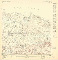
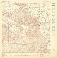
1950 Map of Vega Alta NO
USGS Topo · Published 1950About this map
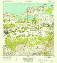
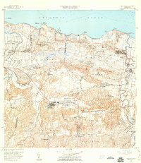
The Central San Vicente sugar mill and the nearby Estación San Vicente serve as the industrial anchors for this northern coastal region during the mid-twentieth century. The landscape is defined by the transition from the Océano Atlántico coastline at Pta. Cerro Gordo and Playa de los Tocones to the expansive wetlands of the Ciénaga Sabana Prieta.
Find a feature on this map
28 named features on this map. Tap any name to fly to it.
Don’t see what you’re looking for? This feature index may not catch every label — zoom into the map to look around manually.
Map Details
Editions of this 1950 Vega Alta NO Map
This is the sole edition of this map. No revisions or reprints were ever made.
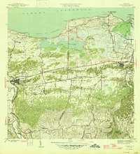
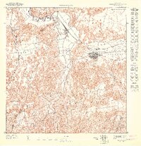
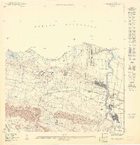
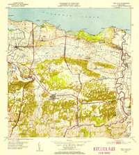
Other maps of this area

1940 · Vega Alta
USGS Topo · 1:30,000

1942 · Manati
USGS Topo · 1:30,000

1946 · Vega Alta
USGS Topo · 1:30,000
1946 · Manati
USGS Topo · 1:30,000
1947 · Vega Alta SO
USGS Topo · 1:10,000
1950 · Vega Alta NE
USGS Topo · 1:10,000
1950 · Vega Alta SE
USGS Topo · 1:10,000
1953 · Manati
USGS Topo · 1:30,000
1953 · Vega Alta
USGS Topo · 1:30,000
1958 · Vega Alta
USGS Topo · 1:20,000
Featured Places
- La Hormiga, Dorado
- Golden Village, Vega Alta
- Breñas, Vega Alta
- Almirante Norte, Vega Baja
- Villa Alegria, Vega Alta